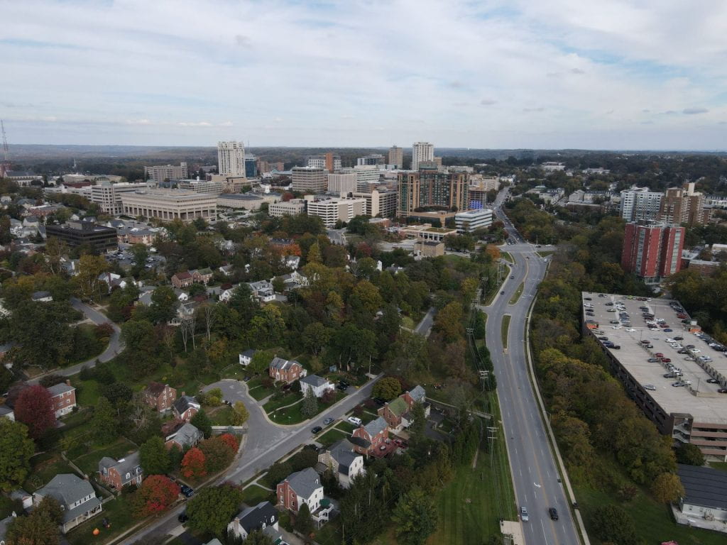
We are excited to announce the 2024 Geospatial Technology Summer Camp that will take place at Towson University from July 10th to July 13th, 2024. This summer camp, tailored exclusively for Maryland high school students (9th-12th grade), promises an immersive experience in geospatial technologies.
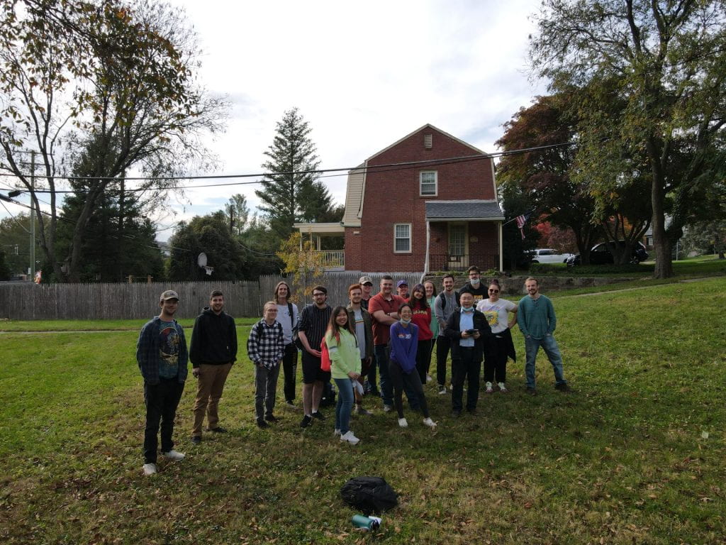
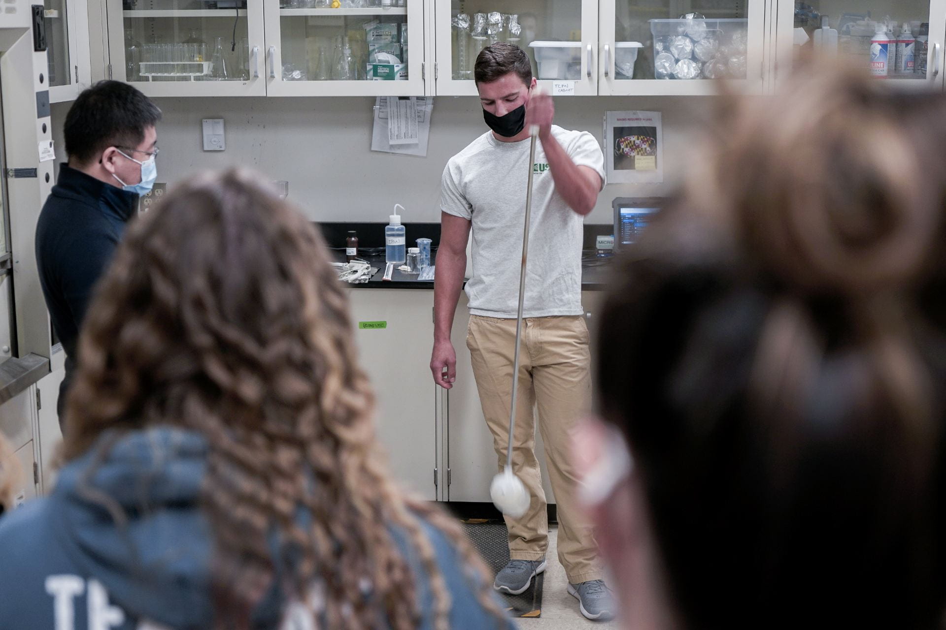
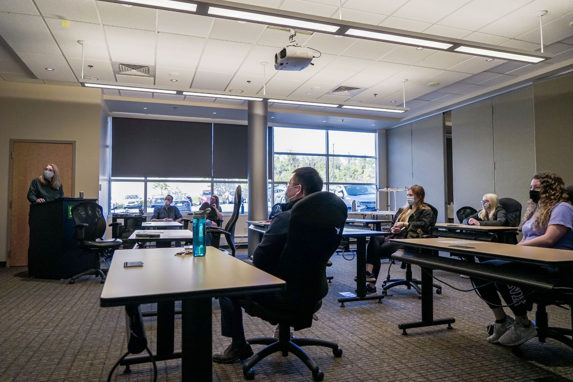
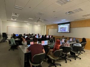
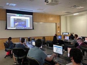
Spanning four days and three nights, this all-inclusive camp at Towson University offers a comprehensive exploration of geospatial technologies, providing hands-on training in digital cartography, GPS, satellite remote sensing, aerial photography, and open-source mapping. Furthermore, students will engage in activities designed to promote team building and experience the vibrant college atmosphere.
Key highlights of the camp include:
- All-inclusive lodging and meals
- Team-building activities
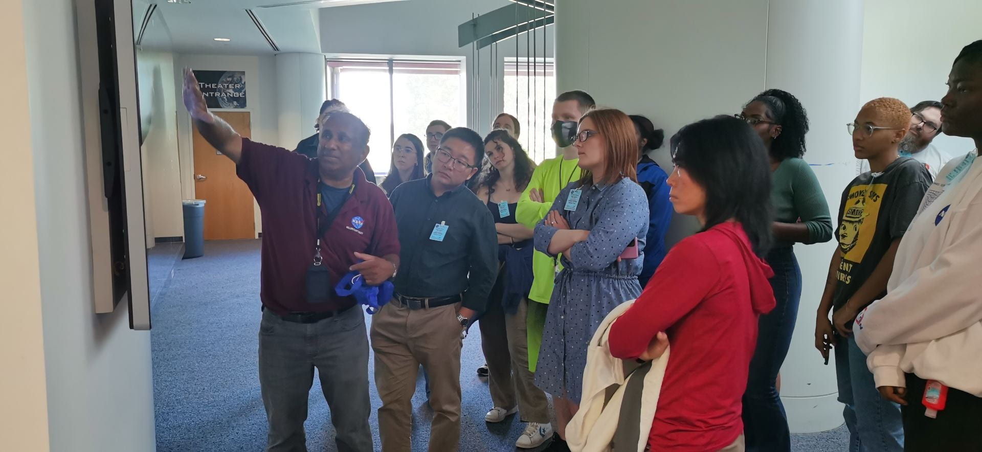
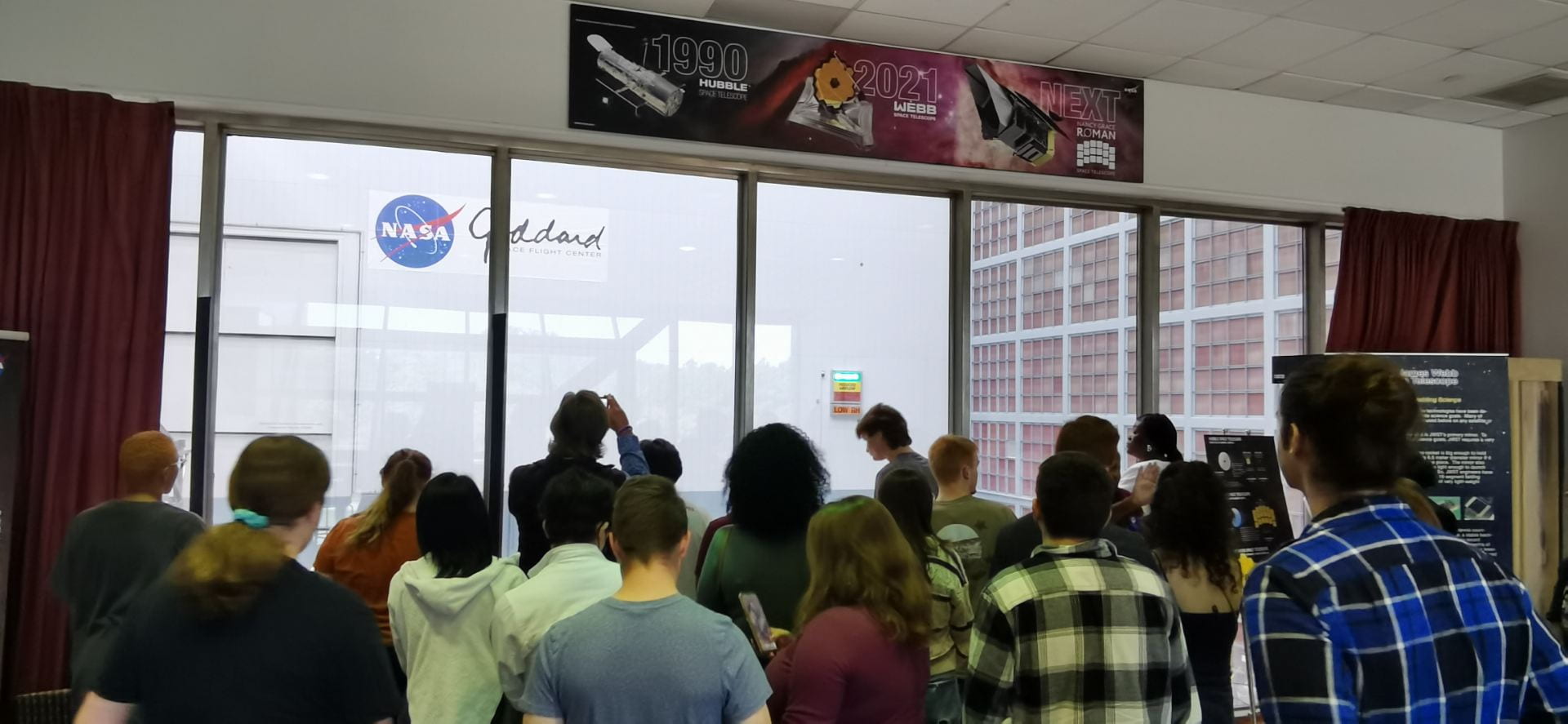
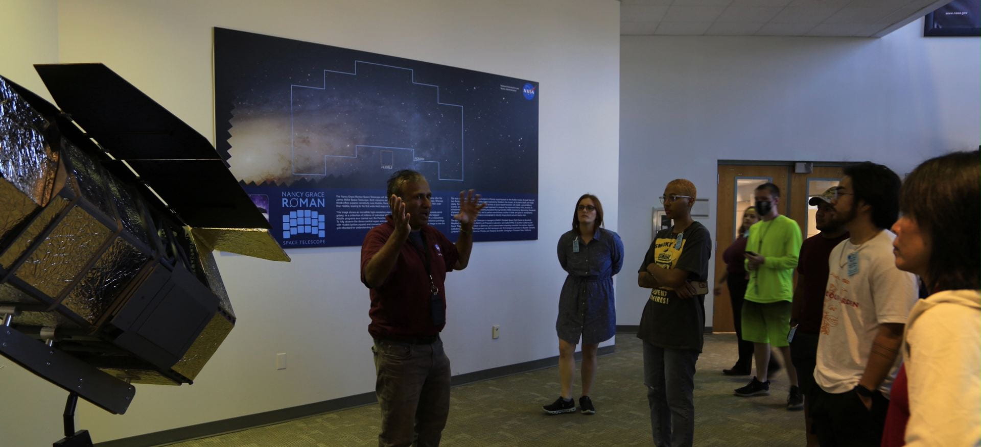
- NASA field trip
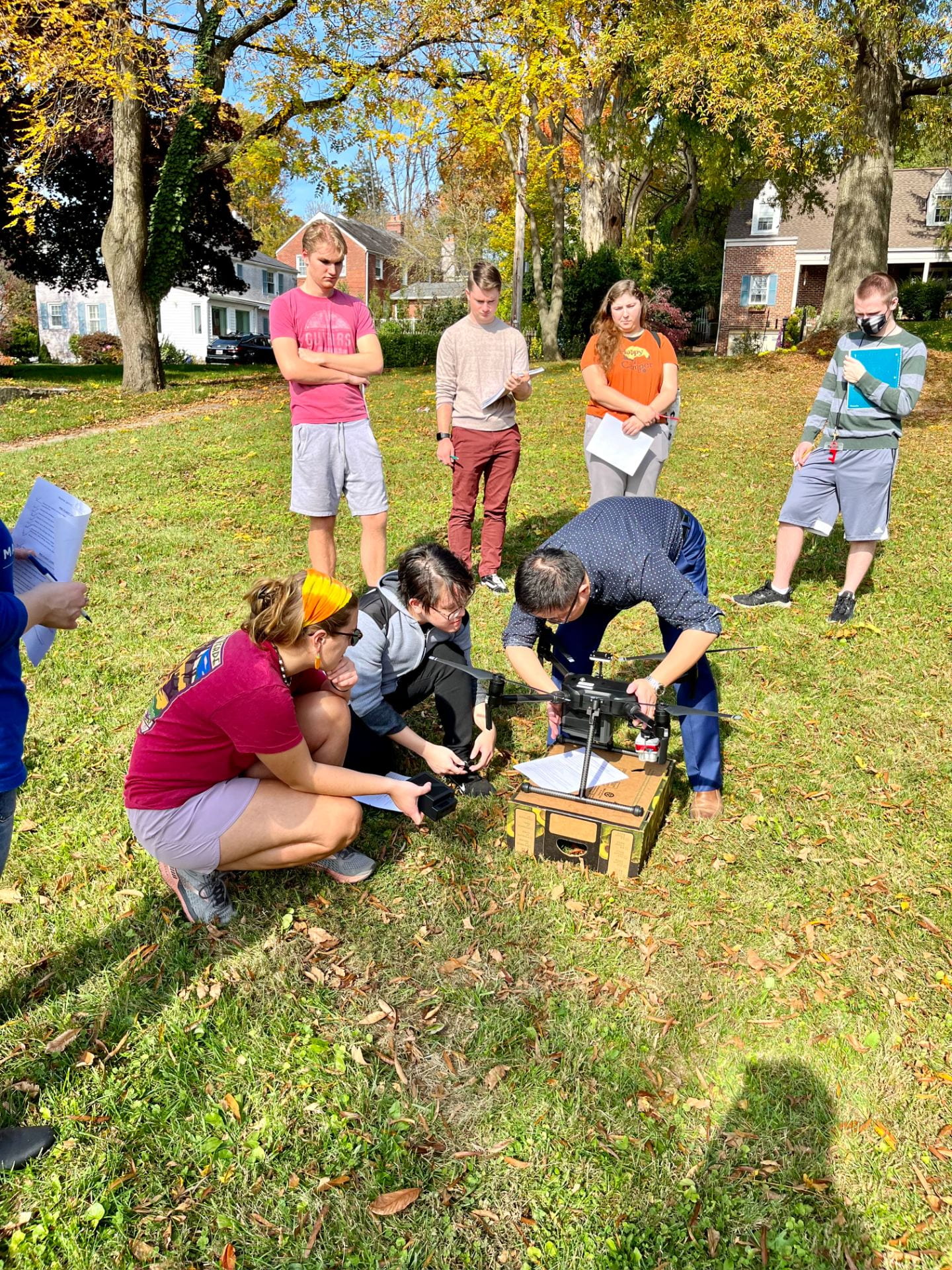
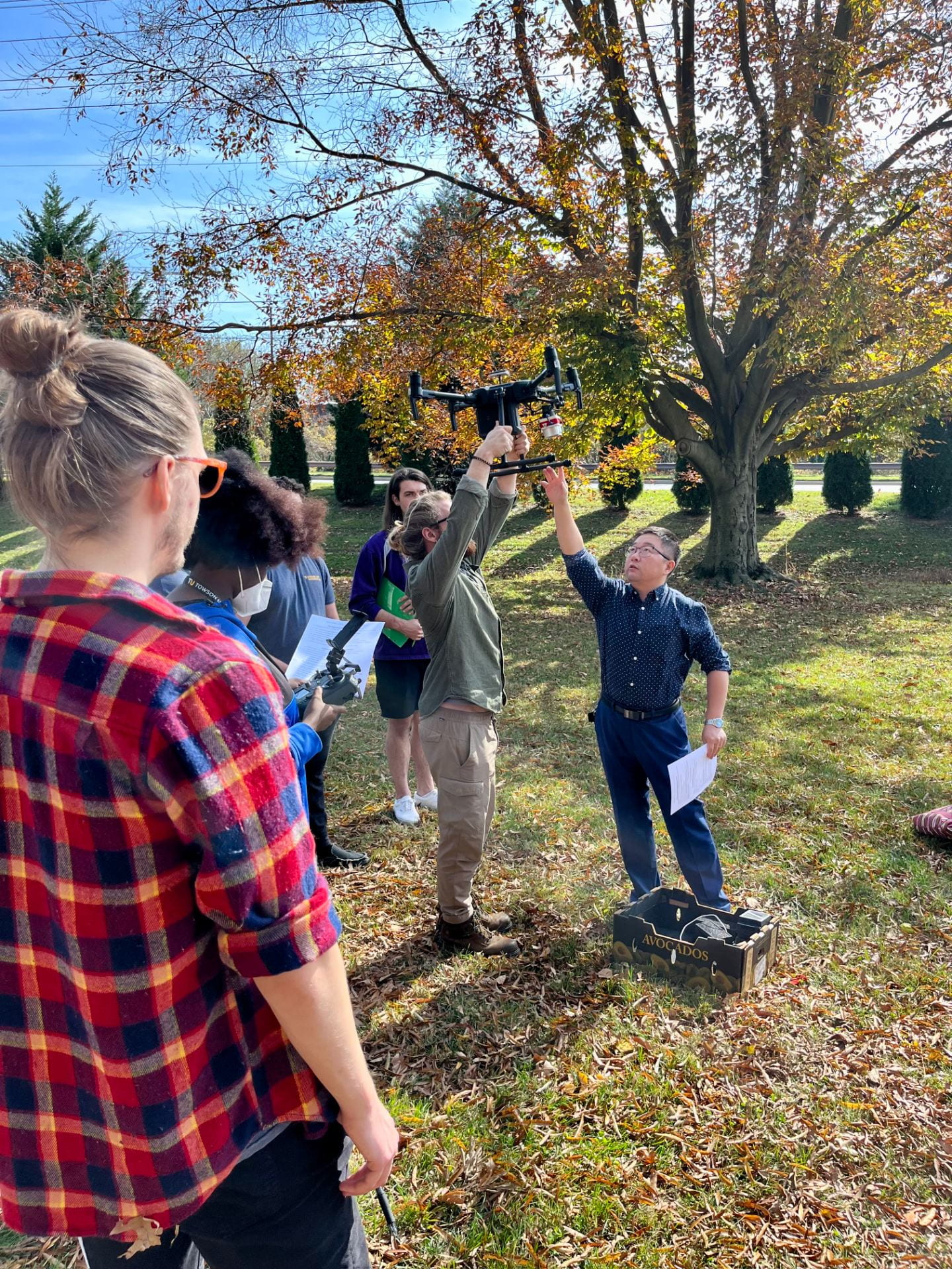
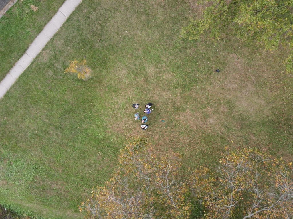
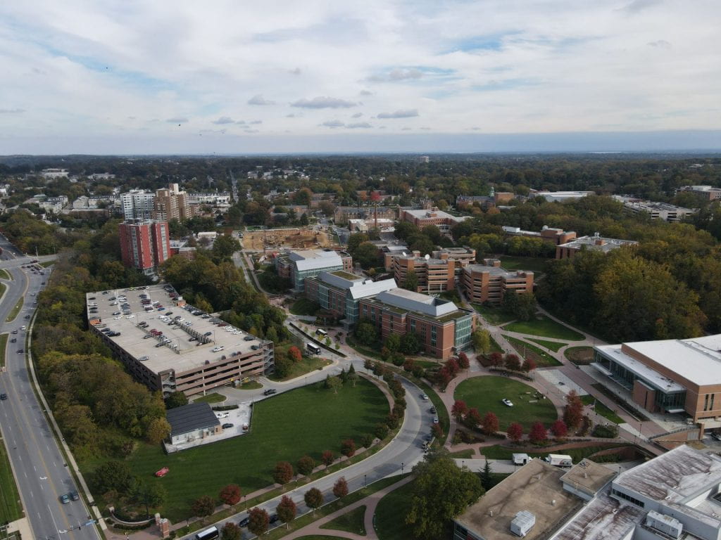
- Drone flying
- Satellite image analysis
- Aerial photography
- Digital mapping
- GPS data collection
And much more!
Please note that the camp has a capacity of 20 students, and the registration deadline is 11:59 pm on June 23rd, 2024. Early registration is strongly encouraged to secure your spot!
Registration is now closed as all seats have been sold out.
For any inquiries or if you would like to be placed on our waiting list, please contact Dr. Carter Wang at cwang@towson.edu.