Skip to content

2023 Geospatial Technology Summer Camp (expired)

2023 Geospatial Technology Summer Camp (expired) published on

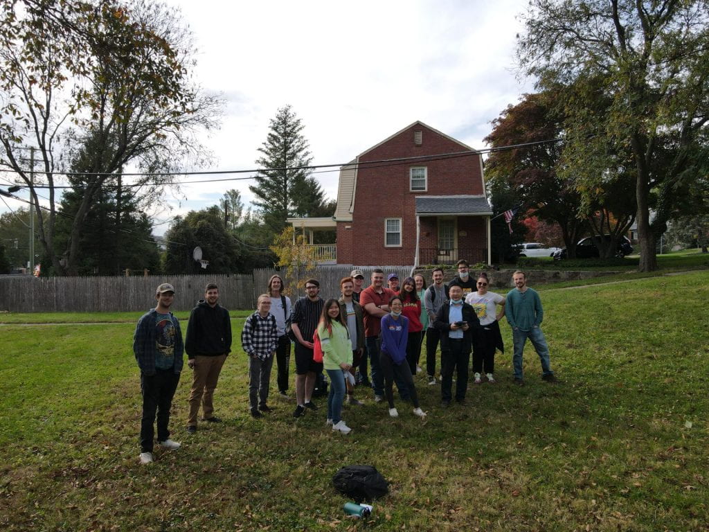
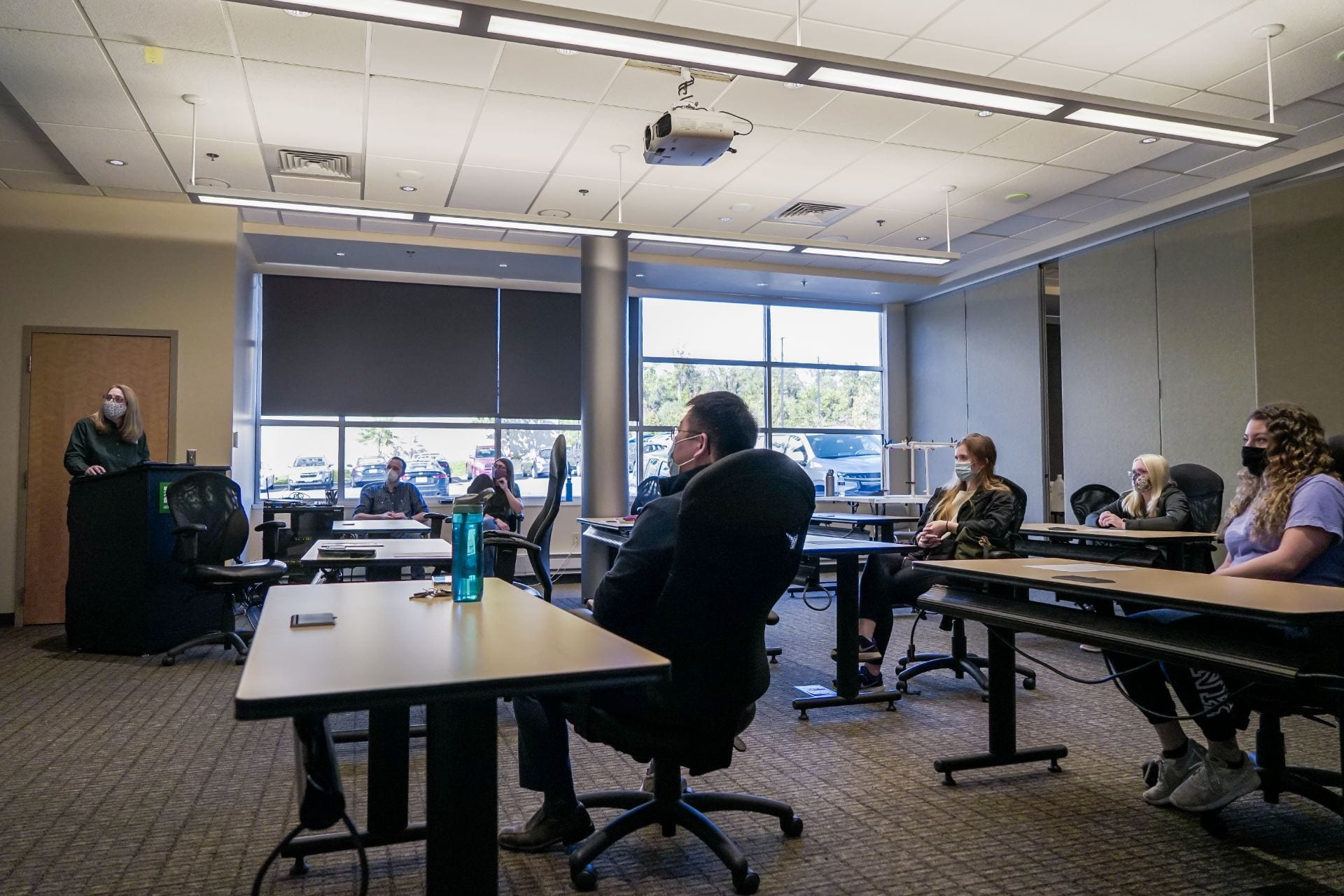
We are excited to announce that MarylandView and the Department of Geography & Environmental Planning at Towson University are co-organizing the 2023 Geospatial Technology Summer Camp that will be held at Towson University from July 10th to July 13th, 2023. Designed exclusively for Maryland high school students (9th-12th grade), this all-inclusive, overnight camp spans four days and three nights, providing a comprehensive experience for those interested in exploring geospatial technologies.

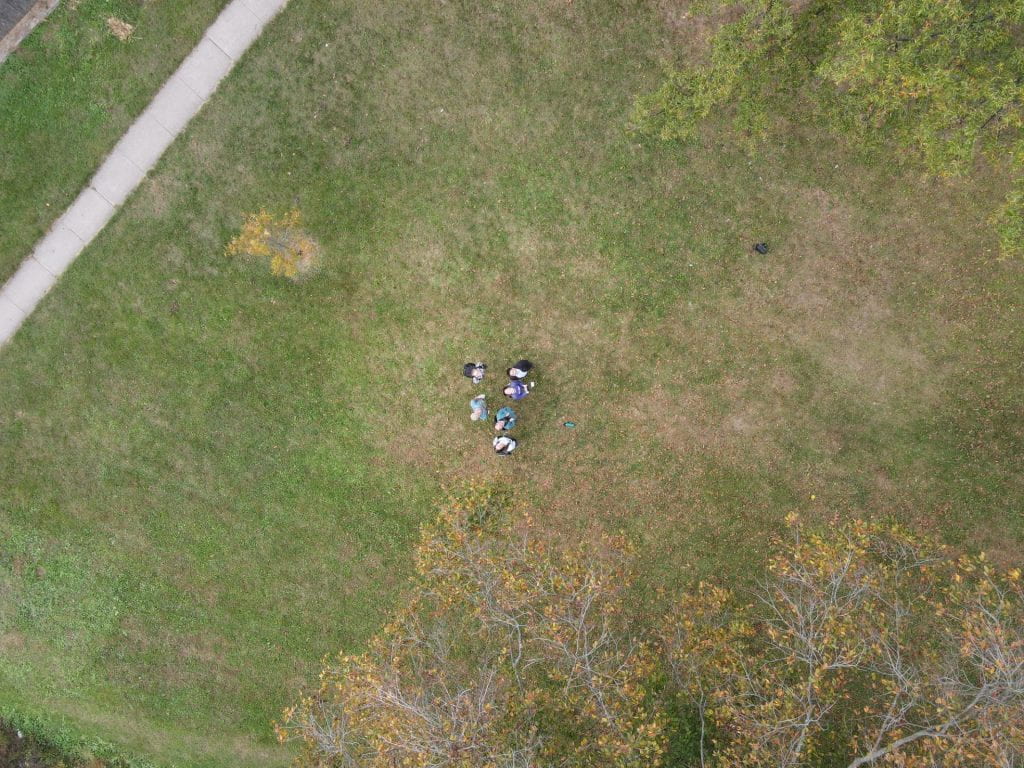
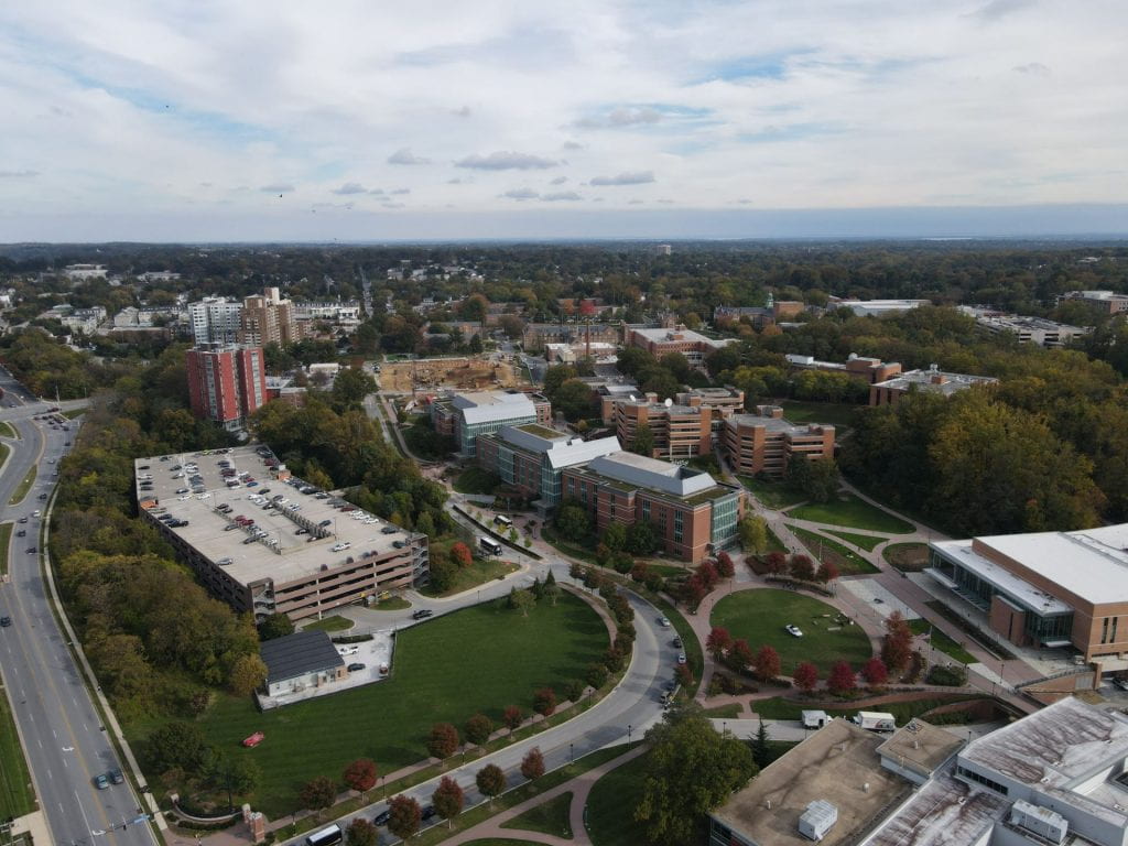
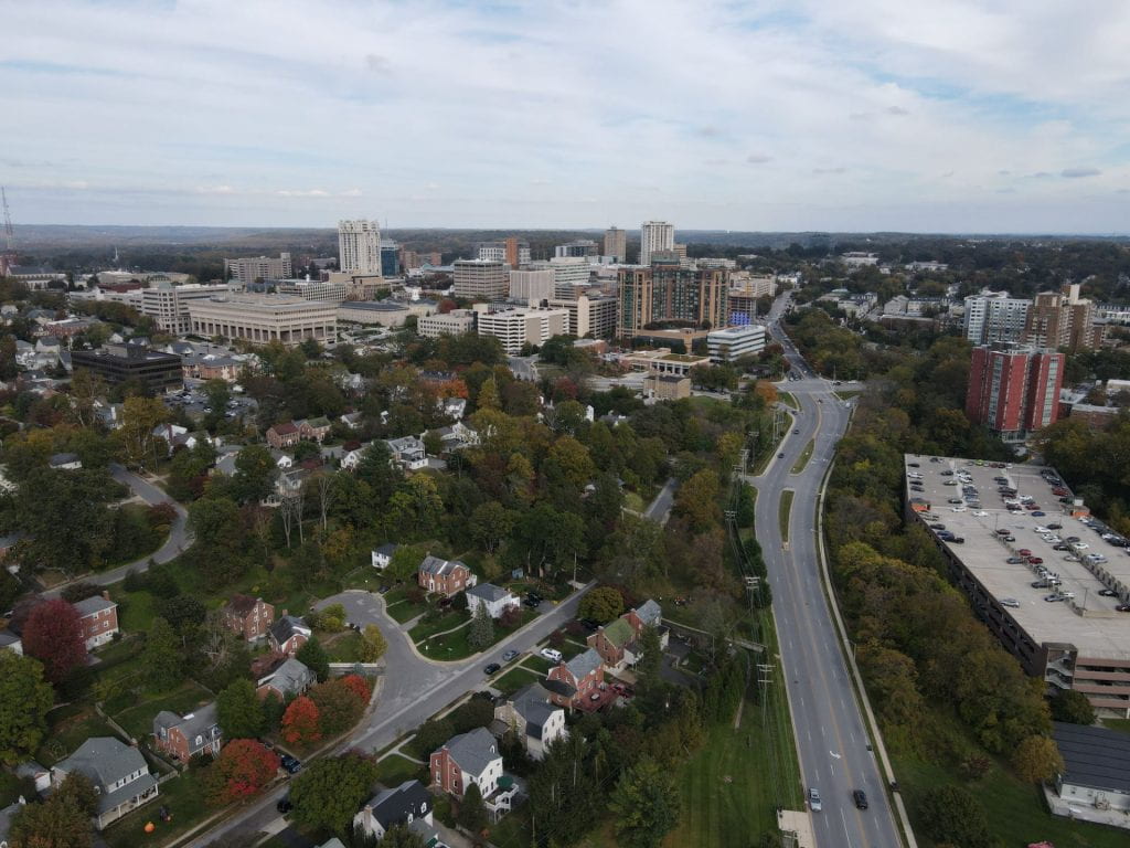
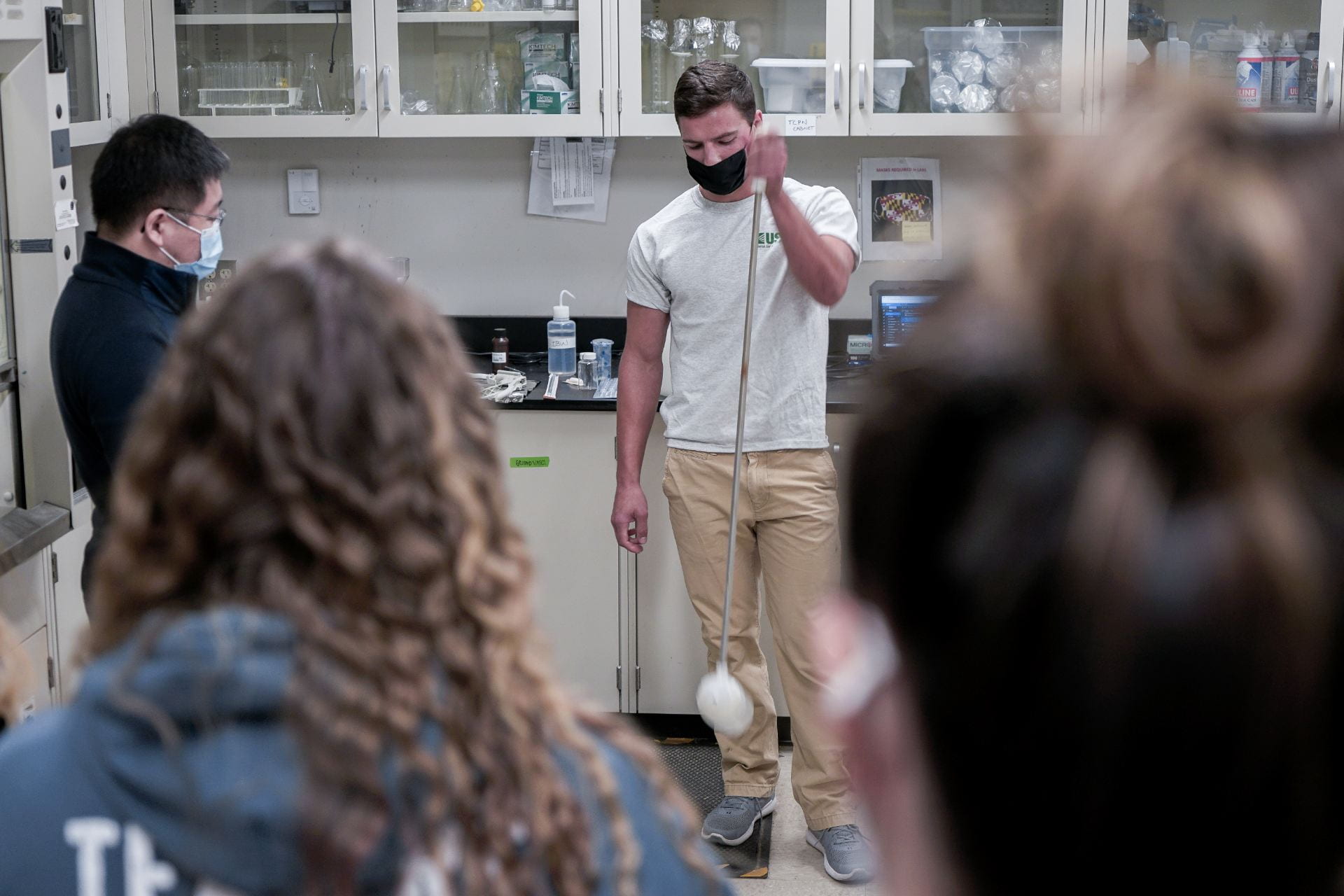
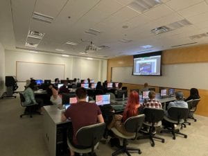
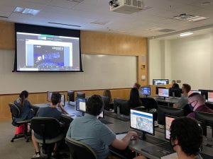
Throughout the camp, students will receive hands-on experience with cutting-edge geospatial technologies, including digital cartography, GPS, satellite remote sensing, and aerial photography. Additionally, they will delve into various activities that showcase the excitement of college life and foster team building.

The key highlights of the summer camp include:

  • team building
  • drone flying
  • aerial photography
  • satellite imagery collection and analysis
  • GPS data collection
  • digital mapping
  • field data collection
  • NASA field trip
  • and more!

The registration period for this year’s camp concluded on June 23rd. However, we encourage you to mark your calendars and join us in 2024 for another engaging summer camp experience.

For any inquiries, please reach out to Dr. Carter Wang at cwang@towson.edu.

UAS Field Data Collection

UAS Field Data Collection published on

Students were able to receive some hands-on experience flying drones during class in late October. Dr. Wang took his students outside to practice flying and capturing imagery with his drone.

Dr. Wang’s Remote Sensing and Photogrammetry Class.
Aerial photo of some students.

Some aerial photos taken by students:

TU Students go to U.S. Geological Survey Water Science Center

TU Students go to U.S. Geological Survey Water Science Center published on

On October 22, 2021 students in Dr. Wang’s Remote Sensing and Photogrammetry class visited the U.S. Geological Survey Water Science Center in Catonsville, MD. They received a tour of the facility and viewed a presentation regarding the use of remotely sensed imagery for water monitoring. Students were able to engage and ask staff questions.


TU Students Attend Virtual NASA Field Trip

TU Students Attend Virtual NASA Field Trip published on

Dr. Wang’s Introduction to Remote Sensing and Photogrammetry class participated in a virtual field trip for NASA’s Goddard Space Flight Center on October 5, 2021. The presentation features an overview of the Goddard Centers involvement in earth sciences and NASA missions. This includes details in the designing, building, testing, and launching of satellites. The program ends with an interactive Q and A session.

Dr. Wang was particularly interested in information regarding the newest Landsat satellite, Landsat 9, which successfully launched on September 27, 2021 after several unfortunate delays.

The Goddard Space Flight Center offers a variety of tours to suite different levels. Currently the Center is restricted to Virtual Experiences due to the ongoing pandemic. You can learn more about the programs and scheduling requirements here.

Publication: Tornado Tracking Analysis with UAS

Publication: Tornado Tracking Analysis with UAS published on

Remotely sensed imagery is useful for a variety of analyses. Wagner et al. used the imagery from unpiloted aerial systems (UAS) to better understand topological influences on tornado direction and intensity. More specifically they studied an EF3 tornado, a severely damaging tornado according to the Enhanced Fujita scale, that struck Tescott, Kansas on May 1, 2018. Estimated peak winds were 140 mph and distance traveled was roughly 12 miles. Their findings indicate that topography and UAS imagery provide useful information when completing tornado damage assessments.

Published August 2021. You may view the publication here.

Skip to toolbar